Once design is finished you need to grade your field.
The cheapest option is a rotating laser that you set up at the field edge. A receiver on your grader guides you on section grading.
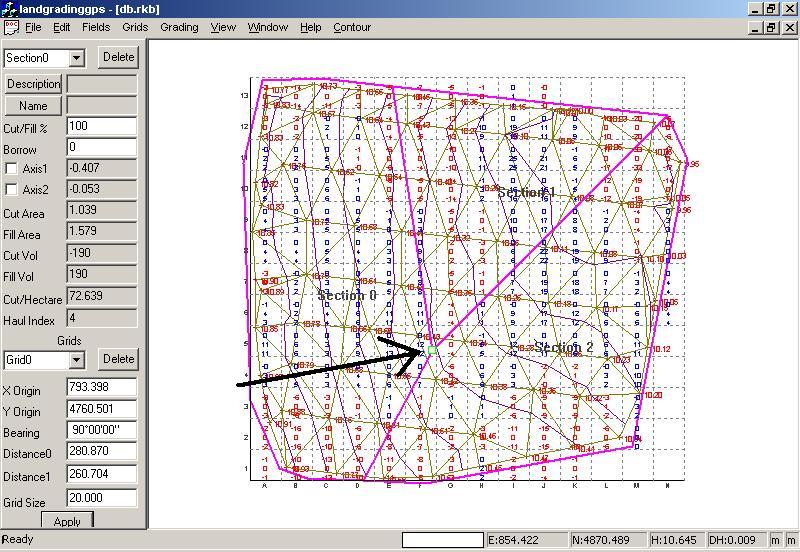
Alternatively Ezigrade allows you to use your GPS. There is a cut/fill dialog which shows your present height compared to the design height. You can then set your bucket height to achieve desired surface. Ezigrade has a number of inbuilt GPS alarms which are user definable. This is important for quality control.
Alternatively enter your surface points manually, through Total Station or import from another package.