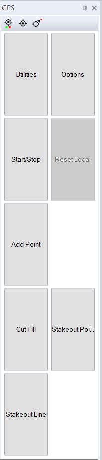
Version 4 now includes a docking window when doing a GPS pickup. This makes things easier to control the pickup when running on a tablet computer. There are a number of seperate GPS docking windows. The first repeats the commands from the GPS ribbon menu item and means bigger buttons to press on a tablet.
GPS commands docking window:
|
|
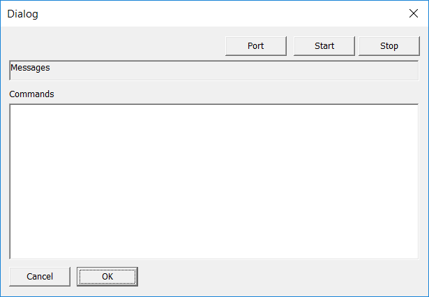
Utilities: Brings up a dialog box where we can set the port and make sure communications with GPS device are happening:
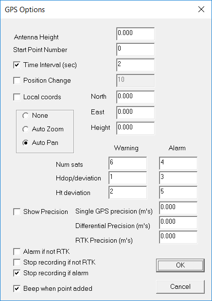
Options: This brings up a dialog where we fill in things like antenna height, alarms and whether we auto zoom and pan etc
Start/Stop: we can either use GPS data or ignore it.
Add Point: manually add a point to the database.
Cut/Fill: Display current cut or fill. ie difference in GPS height to current natural surface height.
Stakeout Point: Stake out to a point docking window
Stakeout Line: Stale out to a line docking window.
|
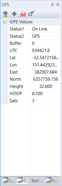
GPS pickup docking window:
|
|
These are the values returned from the GPS.
Status1: Whether GPS is stopped or running
Status2: Miscellanous error messages
Buffer: Number of characters in the back buffer
ITC: Time
Lat: Latitude returned in decimal degrees
Lon: Longitude returned in decimal degrees
East: Easting value in UTM coordinates
North: Northing value in UTM coordinates.
Height: GPS height including antenna
HDOP: Horizontal Dilution Precision
Sats: Number of satellites used.
|
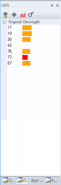
GPS Satellite Strengths:
|
|
Here we show the number of the satellite in use together with graph of the signal strength. We also show a color depending on the relative strength of the signal.
In this example we have the GPS pickup inside; hence all the signals are orange or red.
|
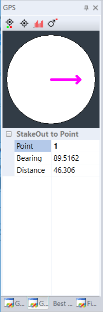
GPS setout to a point:
|
|
The arrow shows direction you need to travel.
Point: point number we are staking out to.
Bearing: bearing to point
Distance: distance to the point.
|
GPS Stakeout to a line:
Still under development.