The following file formats are supported for importing. Simply click on the appropriate ribbon button and you will be prompted for the appropriate file etc.
More details for the different file formats are described below:
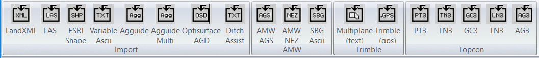
Open Source and Individual File Formats.
-
LandXML
This is a universal file format and can contain lots of different entities. We are particularly interested in Points, lines and surfaces.
-
LAS
A gis format often used by online databases. Also LIDAR data is often supplied in this format, as well as drones etc
-
-
-
-
-
AMW File Formats
-
-
-
Trimble File Formats
-
-
Topcon File Formats
These files are all proprietry formats and not published. The PT3,TN3,GC3 and LN3 can all be created from Topcon Open Office. You also have the option of exporting a LandXML file as well.
The AG3 file is native to Topcon AgForm3d™. Again this is a proprietrary format. We only extract natural, design and cut-fill surface. This will allow you to create a design in Agform-3D and get the design to your Trimble™, AMW™ system etc.
-
-
-
GC3 - control points master bench and bench marks etc
-
-
AG3 - design in AGFORM-3D™